Our Services
Learn more about Agricultural Drones and what they can do for your business
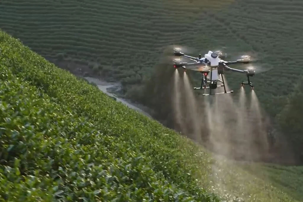
Drone Spraying
Where terrain and vegetation makes access difficult, small lightweight drones can fly low over crops and pasture, delivering precise doses of herbicides or pesticides where it’s needed most.
Drones fly low over terrain, allowing for more precise application and better resistance to drift caused by wind.
Advanced mapping of terrain prior to application allows the closer and more precise navigation
GPS data generated allows clear records of where chemical has been sprayed. Track precisely how your land responds over years
Precision Agriculture means less inputs used for better results

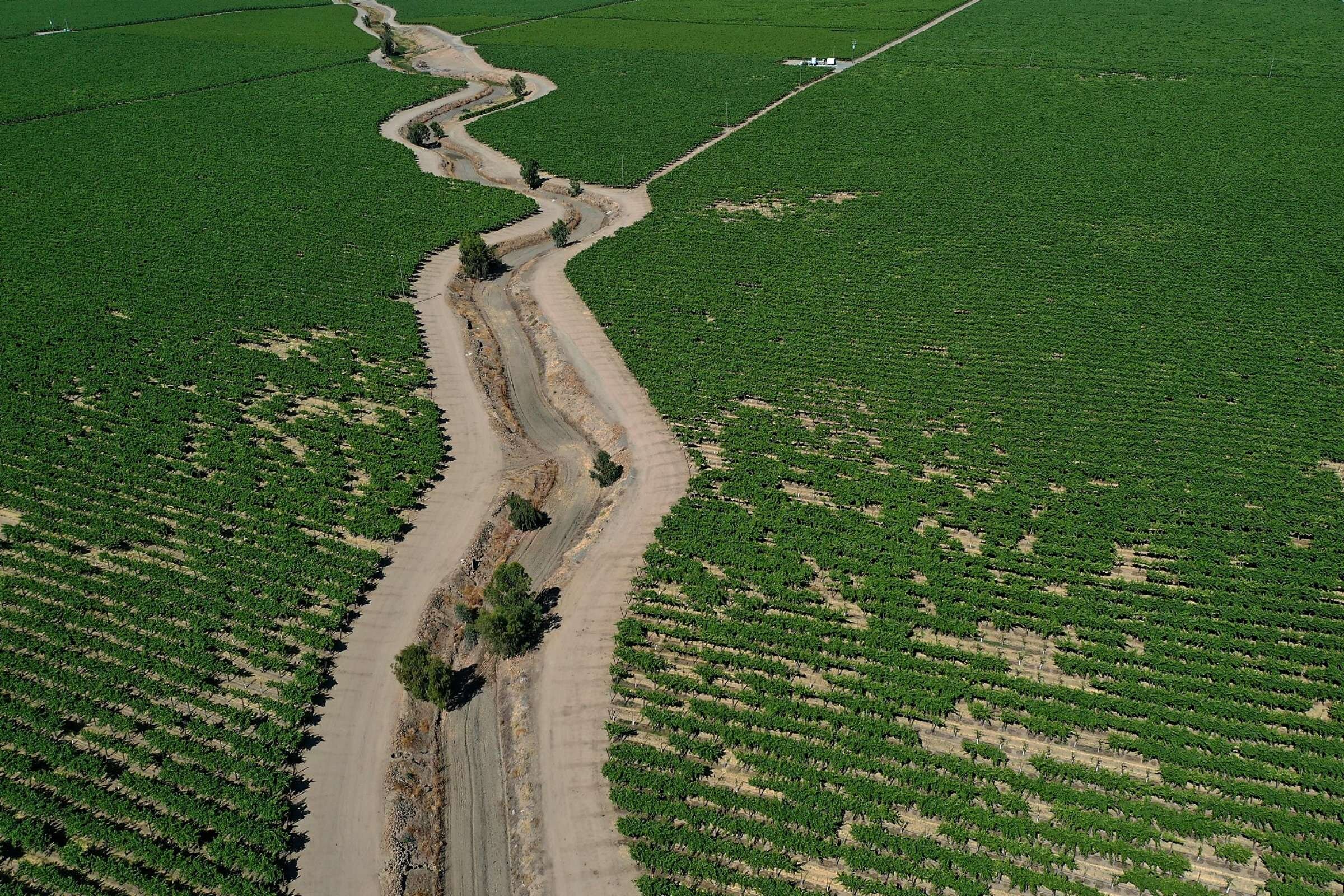
Drone Surveying
See your land like you’ve never seen it before. Aerial drone photography allows the production of maps accurate down to 2 centimetres.
Generate 3d maps to clearly see the contours of every ridge and gully on your property.
Generate Normalised Difference Vegetation Index (NDVI) reports to see clearly the variation in health of crops, pasture and trees.
From aerial maps, readily identify weed`and pest hotspots to better guide pesticide and herbicide application. Next time you spray, save on the amount of chemical applied without sacrificing performance.

Elevation and Contour Mapping
With a clear understanding of the contours of your land, you can plan and manage your approach to your farm better than ever.
Generate elevation and contour maps using aerial photography, no need to use traditional surveying equipment.
Understand the flow of water on your property to better plan any changes.
Planning to cut swales or soaks? Accurate contour mapping can help you plan and get you the highest return on investment.
See where your livestock go. Use aerial photography to identify stock tracks and plan your feeding regime accordingly.
Contact us.
Click below to learn more